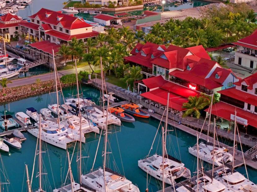
Hiking in Seychelles: Trails on La Digue and Praslin Islands
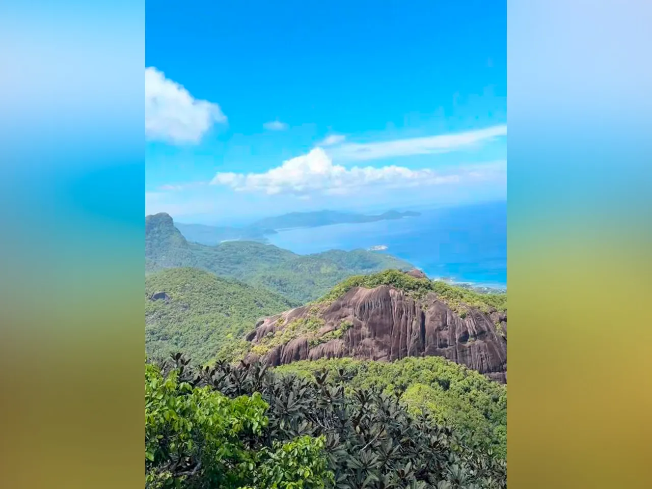
The Seychelles islands are not only about pristine white beaches, turquoise waters, and relaxed getaways. Beyond the coastline lies another, equally breathtaking world of tropical forests, granite boulders, and scenic mountain trails.
Hiking in the Seychelles offers a chance to see the islands from a different perspective and to reach places inaccessible by car.
Hiking is especially popular on Mahé, the largest island in the archipelago. Dozens of trails of varying difficulty are concentrated here: from easy coastal walks to more challenging climbs through dense jungle.
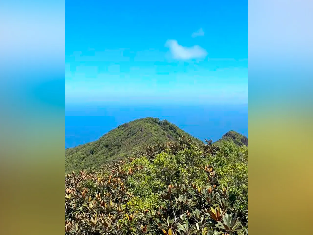
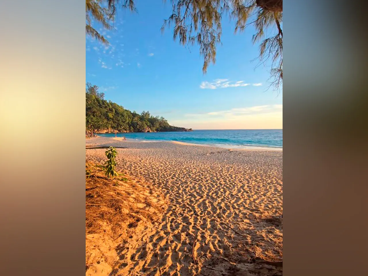
Along the way, you'll encounter various Seychelles attractions, panoramic views of the Indian Ocean, secluded beaches, and unique nature that remains virtually untouched.
In this article, we will take a detailed look at the best hiking trails on the islands of La Digue and Praslin — their features, difficulty levels, and key points of interest.
Hiking trails on La Digue island
Grand Anse – Petit Anse – Anse Cocos – Anse Caiman – Anse Fourmis Trail
One of the most scenic and varied routes in the archipelago. Perfect for nature lovers, it combines beaches, tropical forests, and coastal sections, offering the chance to see the island from different perspectives.
Key Trail Features:
-
Distance: 4.07 km
-
Elevation gain: 126 m
-
Elevation loss: 134 m
-
Maximum elevation: 44 m
-
Minimum elevation: 0 m
-
Trail type: point‑to‑point (one way)
-
Hiking time: approximately 3 hours 15 minutes
-
Difficulty level: moderate
Route Description
The trail starts at Grand Anse beach and gradually winds through several of La Digue's most beautiful coves: Petit Anse, Anse Cocos, Anse Caiman, ending at Anse Fourmis. Along the way, you'll encounter diverse terrain — sandy beaches, shaded tropical forest, and coastal sections where you may occasionally need to wade through knee‑deep water.
The stretch between Anse Caiman and Anse Cocos is particularly thrilling. Here, the path winds through dense vegetation and rocky sections, creating a true adventure atmosphere.
It is convenient to split the route into two days:
-
Day one: start at Anse Fourmis and hike to Anse Cocos, then return to the starting point.
-
Day two: walk from Grand Anse to Anse Cocos through the tropical forest.
Keep in mind that the section between Anse Fourmis and Anse Caiman passes through rocky terrain. Caution and appropriate footwear are essential for safe movement over the stones. The trail is well marked with white markers and arrows to help with navigation.
Along the way, you may encounter large spiders and crabs — they are harmless but add to the sense of wild nature. Overall, the route is rich and varied, combining beautiful beaches, forest trails, and coastal scenery.
Anse Marron Trail
One of the most extreme and unforgettable hiking adventures in the Seychelles. It is not for everyone: stamina, attentiveness, and a willingness to take on a real challenge are essential. Yet, precisely because of its difficulty, this trail grants access to one of the wildest and most stunning beaches in the archipelago.
Key Trail Features:
-
Distance: 7.12 km
-
Elevation gain: 126 m
-
Elevation loss: 99 m
-
Maximum elevation: 53 m
-
Minimum elevation: 5 m
-
Trail type: loop trail
-
Moving time: approximately 1 hour 15 minutes
-
Total time: up to 3 hours 50 minutes
-
Difficulty level: very high
Route Description
The trail to Anse Marron is considered one of the toughest in the Seychelles, and the main challenge lies not in elevation changes but in navigation. The route winds through haphazardly scattered granite boulders, where it is easy to lose your bearings, especially without prior experience in such terrain.
The climate adds another layer of difficulty: high humidity and constant heat quickly wear you down, and on exposed rock sections, the sun becomes especially harsh. The stones heat up significantly, making movement even more demanding.
To tackle the route safely, advance preparation is essential:
-
take at least 1 liter of water per person;
-
carefully follow the worn paths;
-
use colored markers on the rocks for orientation;
-
try to stay close to the shoreline.
It is not advisable to exit the jungle onto exposed rocky sections unnecessarily — they are much hotter and the risk of overheating is higher.
This trail is not suitable for those in poor health, afraid of heights, or with low heat tolerance. Although hiring a guide on La Digue is not cheap, in this case, having a guide can greatly simplify the task and improve safety.
If you are looking for a more relaxed option, Anse Cocos beach is also stunning in its natural beauty, but reaching it is significantly easier.
Hiking trails on Praslin Island
Glacis Noir Trail
An excellent option for discovering the unique nature of the Seychelles islands. The trail starts from the parking lot of the Vallée de Mai nature reserve; the entrance to the trail is marked by a chain, making it easy to recognize.
Key Trail Features:
-
Distance: 3.53 km
-
Elevation gain: 155 m
-
Elevation loss: 317 m
-
Maximum elevation: 321 m
-
Minimum elevation: 1 m
-
Trail type: point‑to‑point (one way)
-
Difficulty level: moderate
Route Description
The trail passes through an area rich in endemic flora and fauna. Among the animals, you may encounter the Seychelles black parrot and the Seychelles black snail, while the plant life features the famous Coco de Mer palms, latanier palms, cinnamon, and exotic trees such as mango, papaya, and guava.
There is a viewpoint along the trail offering scenic views. Climbing the wooden tower is not recommended due to termite damage. The initial sections of the trail from Vallée de Mai to the viewpoint are easy and suitable for most visitors. However, further on toward Baie Sainte Anne, the route becomes more challenging due to dense vegetation. It is best to limit the hike to the viewpoint and return the same way.
Salazie Trail
The Salazie Trail on Praslin is a longer route, ideal for leisurely walks and exploring the island's nature. Although there are no official signposts, the trail is easy to follow using distinctive landmarks.
Key Trail Features:
-
Distance: 8.7 km
-
Elevation gain: 239 m
-
Elevation loss: 245 m
-
Maximum elevation: 175 m
-
Minimum elevation: -48 m
-
Trail type: point‑to‑point (one way)
-
Moving time: approximately 2 hours
-
Total time: approximately 3 hours 10 minutes
-
Difficulty level: low
Route Description
The trail starts along a paved coastal road. It passes through diverse landscapes, including sections of dense vegetation where leg protection is recommended. The Salazie Trail leads to Grande Anse beach or allows a descent to Anse Possession via the Pasquiere path.
The Salazie Trail is an excellent way to enjoy the nature of Praslin without excessive physical strain, combining light hiking with beautiful views and the opportunity to visit several beaches along the way.