Hiking in Seychelles: A Selection of the Best Trails on Mahé Island
For many, the Seychelles islands evoke images of pristine white beaches, turquoise waters, and laid‑back vacations. Yet beyond the coastline lies another, equally breathtaking world — a world of tropical forests, granite boulders, and scenic mountain trails.
Hiking in the Seychelles offers a chance to see the islands from a different perspective and reach places that are inaccessible by car.
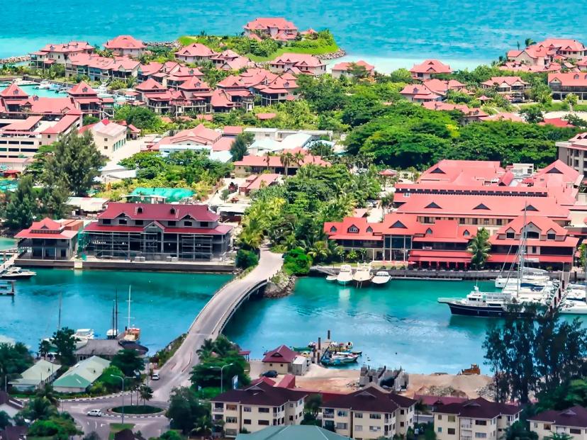
Active recreation is especially popular on Mahé, the largest island in the archipelago. Here, dozens of trails of varying difficulty await: from easy coastal walks to more challenging climbs through dense jungle.
Along the way, you'll encounter a variety of Seychelles attractions, panoramic views of the Indian Ocean, secluded beaches, and unique nature that remains virtually untouched.
In this article, we'll take a detailed look at the best hiking routes in the Seychelles — their features, difficulty levels, and key points of interest. This will help you choose the right trail, whether you're planning a leisurely stroll or a full‑fledged adventure in the heart of island nature.
Routes on Mahé Island
Anse Major Nature Trail
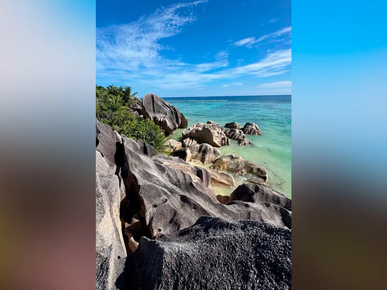
The Anse Major Trail is one of the most scenic hiking routes in the northwest of Mahé Island. It starts near the village of Bel Ombre and leads to the secluded Anse Major beach — a place accessible only on foot or by sea, making it especially appealing to nature lovers and those seeking tranquility.
Key Trail Features:
-
Distance: 7.27 km (loop trail)
-
Elevation gain: 255 m
-
Maximum elevation: 96 m
-
Minimum elevation: 14 m
-
Difficulty level: easy
-
Moving time: approximately 2 hours
-
Total time: approximately 2 hours 30 minutes
The trailhead is located near La Scala restaurant, where you can park your car. The first few hundred meters follow a paved road, after which, at point P-07, the main trail begins.
The section between P-07 and P-12 involves an ascent, but it is not too strenuous and is well suited even for unprepared travelers. As a reward for the effort, stunning panoramas unfold: the green hills of Mahé, the rocky coastline, and the endless waters of the Indian Ocean.
Further along, on the P-12 to P-20 stretch, the trail gradually descends toward the coast. Along the way, you'll encounter interesting natural features: a small natural "cave" near point P-14 and a viewpoint at point P-16, offering especially beautiful views of the ocean.
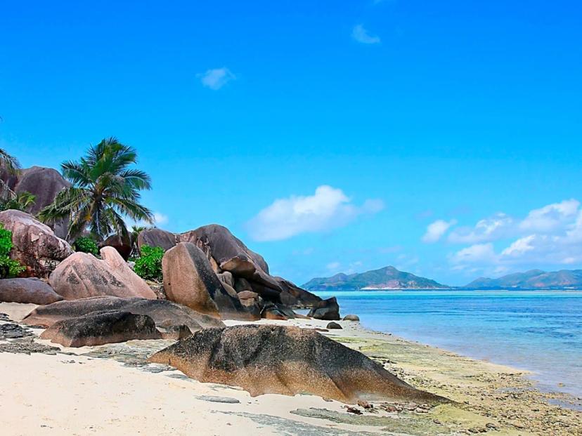
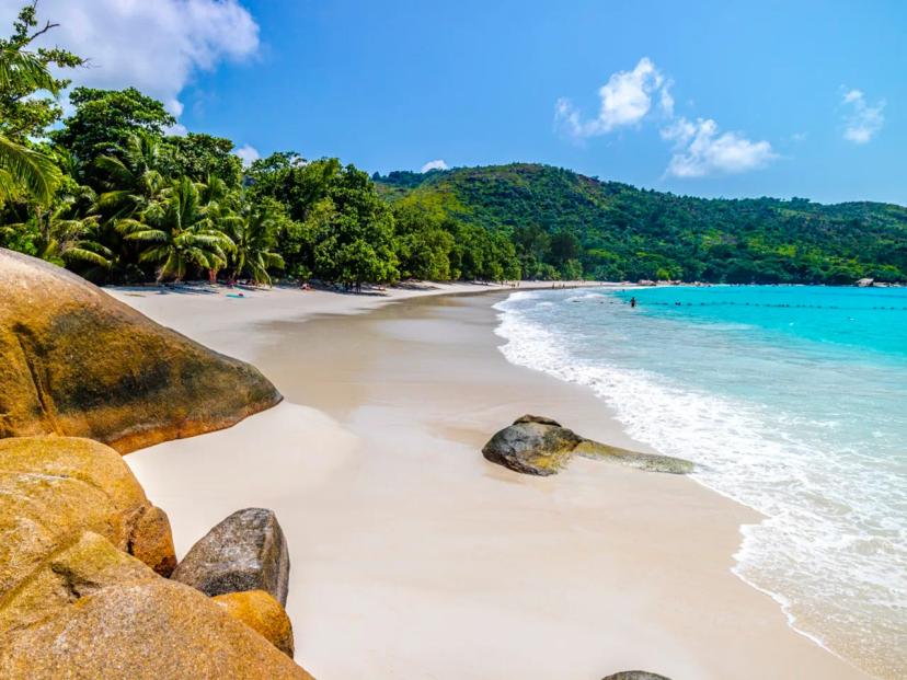
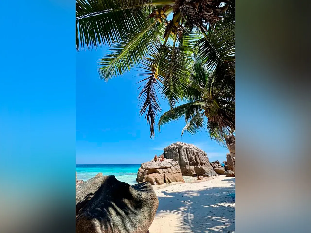
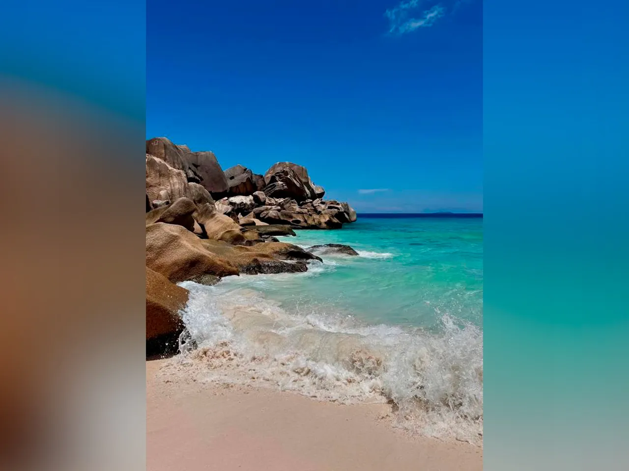
The final destination of the trail is Anse Major beach — a hidden cove with white sand and crystal-clear turquoise waters.
Anse Major Trail + Mountain Route Nearby
This route offers a more challenging and varied alternative to the classic trail leading to Anse Major beach. It combines coastal hiking with a full ascent through tropical jungle, allowing you to experience Mahé Island from entirely different perspectives — from dense vegetation to panoramic views from the heights.
Key Trail Features:
-
Type: loop trail
-
Distance: 15.1 km
-
Elevation gain: 1,121 m
-
Maximum elevation: 469 m
-
Difficulty level: moderate
-
Total time: approximately 6 hours 35 minutes
-
Moving time: approximately 4 hours 30 minutes
The route can be roughly divided into two key sections, each offering its own unique experience.
Mountain Trail
The journey begins at the bus stop near La Scala restaurant, where you can also park your car. Right at the start, at point P-02, the trail splits: to the right goes the classic route to Anse Major beach, while to the left leads a more challenging trail heading inland through the jungle.
Taking the left direction, you'll almost immediately find yourself in dense tropical vegetation. The ascent follows a narrow path through tall grass and shrubs. Here you may encounter various representatives of the local wildlife — from colorful birds to numerous insects, so insect repellent will be especially useful.
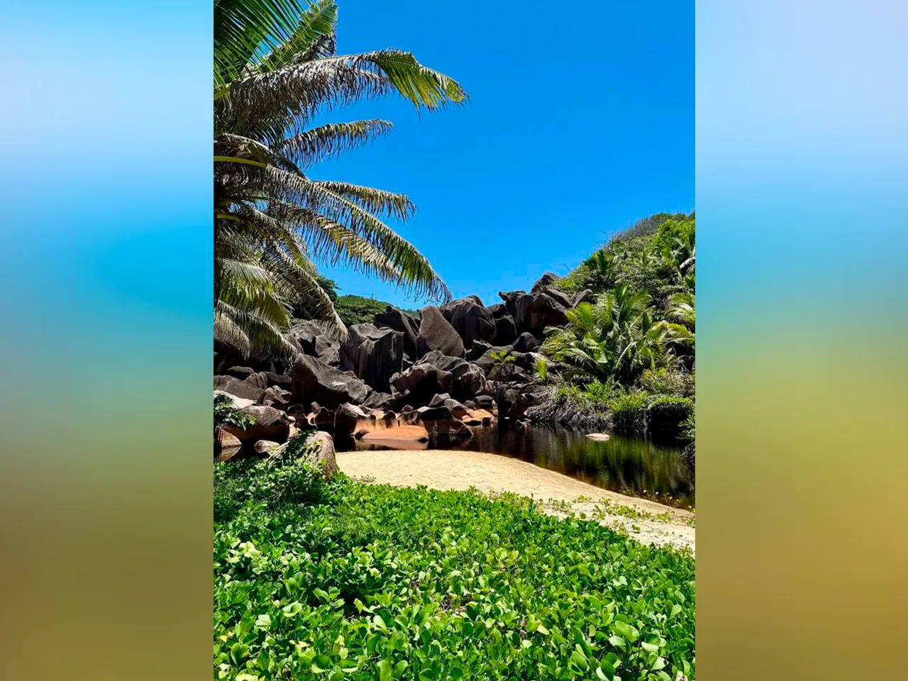
At around 222 meters elevation (point P-14), the ruins of old buildings are hidden among the greenery — an atmospheric spot that hints at the island's past and gives the route a distinctive character.
Further on, at 321 meters (P-16), the trail crosses a small waterfall. Here you'll need to carefully step across the rocks, especially in rainy weather when the surface may be slippery.
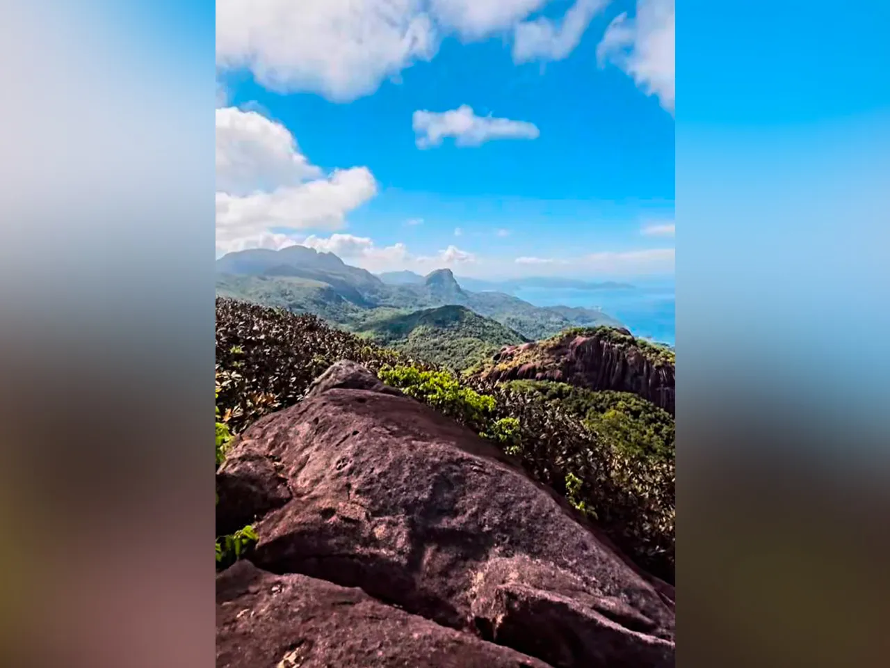
The final ascent leads to the highest point of the route — 469 meters. From the summit, breathtaking views open up of Mahé Island, its hills, and the endless Indian Ocean. This is an ideal spot for a short rest and photos.
Trail to Anse Major Beach
After completing the mountain section, the route returns to junction P-02, where the more relaxed stretch toward the coast begins.
On the way to the beach, at around 67 meters (P-14), there is a small cave that you can explore. This is a short but interesting stop before the final part of the route.
A bit lower, at 37 meters (P-16), there is a viewpoint with a bench. From here, you can enjoy a scenic view of the coastline — a great place to take a breather before the descent. The final destination is Anse Major beach (P-20).
Victoria Botanical Garden Route
This is not just a walking trail, but an opportunity to discover the unique flora and fauna of the Seychelles in a comfortable and accessible setting. This route is perfect for those who want to combine light hiking with an educational walk in the heart of the capital of Mahé Island.
Key Trail Features:
-
Distance: 1.45 km
-
Elevation gain: 79 m
-
Elevation loss: 79 m
-
Maximum elevation: 93 m
-
Minimum elevation: 13 m
-
Trail type: loop trail
-
Moving time: approximately 28 minutes
-
Total visit time: approximately 1 hour 40 minutes
-
Difficulty level: moderate
Route Description
This route is considered one of the key natural and cultural attractions of the Seychelles. Despite its relatively short length, the walk is rich and varied.
The garden features an extensive collection of plants native to the archipelago. Special attention is drawn to the famous Coco de Mer palm — the symbol of the Seychelles, known for its unique and largest seeds in the world.
One of the garden's main highlights is a group of Aldabra giant tortoises. These majestic animals often become the center of attention for visitors.
The trail winds through shaded paths, making the walk comfortable even in hot weather. This spot is ideal for a leisurely introduction to the nature of the Seychelles, as well as for those seeking a lighter, more relaxed format of active recreation.
Copolia Trail
The Copolia Trail is one of the most popular and accessible routes on Mahé Island. It's an excellent choice for those who want to experience the highlights of hiking without having to cover long distances.
Key Trail Features:
-
Distance: 3.1 km
-
Elevation gain: 197 m
-
Elevation loss: 205 m
-
Maximum elevation: 506 m
-
Minimum elevation: 335 m
-
Trail type: loop trail
-
Moving time: approximately 34 minutes
-
Total time: approximately 1 hour 20 minutes
-
Difficulty level: moderate
Route Description
Unlike the more "wild" trails of the Seychelles, the Copolia Trail is a maintained route — entry is paid, and the trail itself is kept in excellent condition. This makes it comfortable and safe even for those without extensive hiking experience.
The ascent follows a well-laid path through the tropical forest. Despite its relatively short length, the route can't be called too easy: high humidity and temperature quickly make themselves felt, so even 3–5 kilometers can feel like a proper workout.
The main reward is the viewpoint at the summit, offering one of the best panoramic views of Mahé — with lush green hills, the coastline, and the vibrant hues of the Indian Ocean.
Sainte Anne Island (Seychelles) – Cannon Route
This route offers a completely different experience — more tranquil and scenic, with a focus on coastal landscapes and historical elements. Located on Sainte Anne Island, it is ideal for those who want to combine light trekking with exploring secluded beaches.
Key Trail Features:
-
Distance: 2.56 km
-
Elevation gain: 92 m
-
Elevation loss: 23 m
-
Maximum elevation: 34 m
-
Minimum elevation: -41 m
-
Trail type: point-to-point (one way)
-
Total time: approximately 1 hour 10 minutes
-
Difficulty level: moderate
Route Description
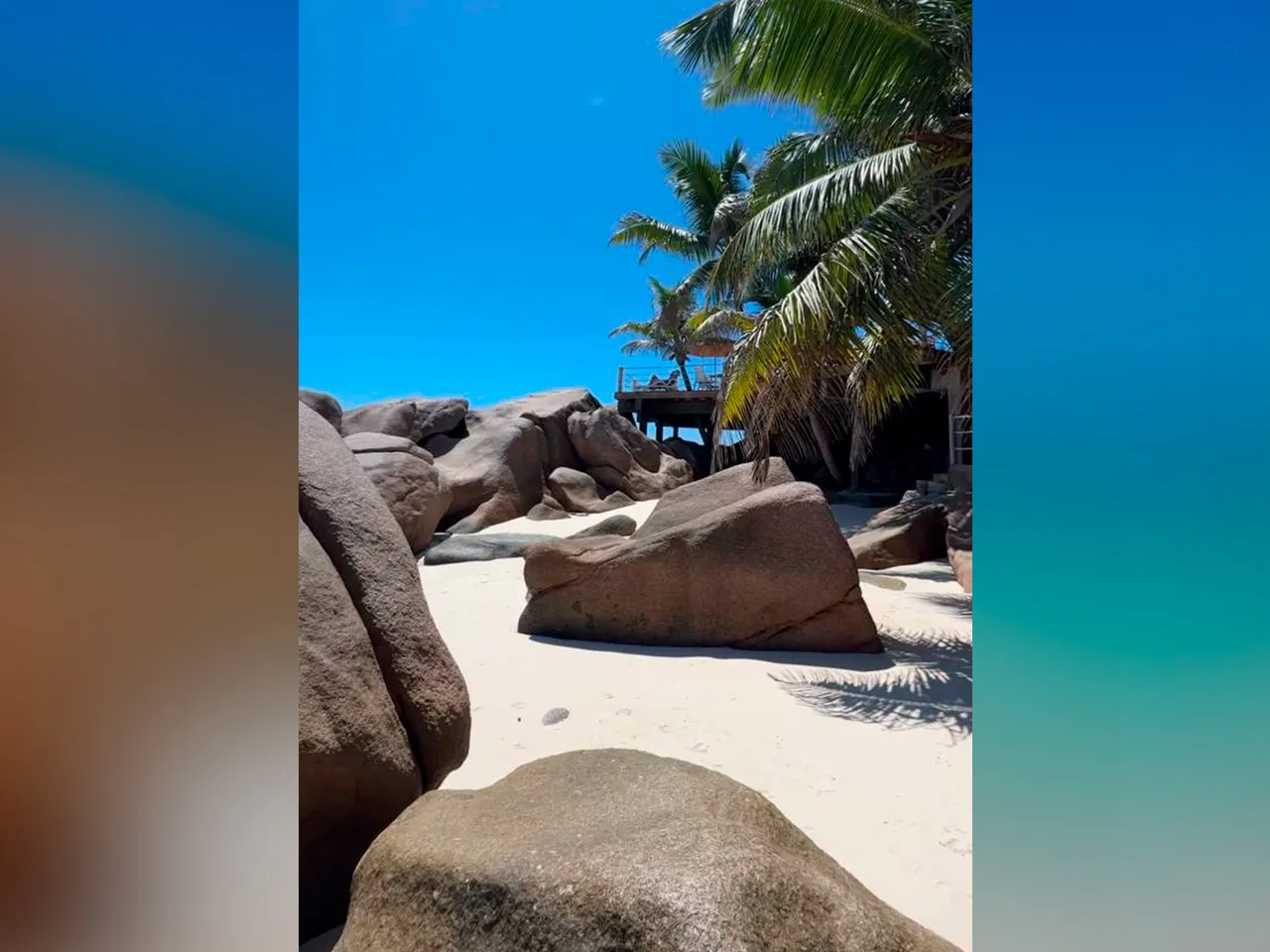
The trail begins at the sports center of the Sainte Anne Resort and runs along the southern coast of the island. The path winds through characteristic granite formations and small palm groves, creating a sense of seclusion and closeness to nature.
Along the way, you'll encounter lesser-known and virtually untouched beaches, such as Anse Cimetière and Anse Manon. These spots are perfect for short stops and relaxing away from the tourist crowds.
The final destination is a small hill where historic military structures are located. Here you can also see a massive cannon dating back to World War II — an interesting historical touch that adds a special atmosphere to the route.
Hike to Anse Capucins (Capucins Trail)
The trail to Anse Capucins beach is one of the wildest and most authentic hiking routes on Mahé. It is suited for those seeking a true adventure and ready to face more challenging conditions.
Key Trail Features:
-
Distance: 6.81 km
-
Elevation gain: 272 m
-
Elevation loss: 272 m
-
Maximum elevation: 66 m
-
Minimum elevation: 10 m
-
Trail type: loop trail
-
Moving time: approximately 1 hour 15 minutes
-
Total time: up to 3 hours 50 minutes
-
Difficulty level: moderate
Route Description
This route is considered more challenging than it might appear at first glance. The main difficulty lies not so much in elevation changes as in navigation: the trail is sometimes hard to discern and partially hidden by dense vegetation.
The journey begins at Anse Marie Louise beach — a small, calm cove from which the trail heads inland. The route then winds through thick jungle, where it's important to carefully track the direction.
Despite the challenges, the effort is fully rewarded at the end. Anse Capucins beach is one of the most secluded and impressive spots on the island. Nearly untouched nature, granite boulders, and crystal-clear water create a feeling that you've discovered a hidden corner of the Seychelles that only a few travelers ever reach.
Route on the Constance Ephelia Resort Grounds
This route, located within the grounds of the Constance Ephelia resort, is an excellent way to combine light hiking with beautiful panoramic views without leaving the resort area.
Key Trail Features:
-
Distance: 2.66 km
-
Elevation gain: 132 m
-
Elevation loss: 132 m
-
Maximum elevation: 132 m
-
Minimum elevation: 10 m
-
Trail type: point-to-point (one way)
-
Moving time: approximately 38 minutes
-
Total time: approximately 1 hour 30 minutes
-
Difficulty level: moderate
Route Description
Interestingly, upon check-in, resort staff sometimes claim that this trail does not exist or that it can only be done with a guide. In practice, however, the trail is quite accessible for independent exploration with basic attention.
It's best to start from the northern part of the resort grounds. From there, head uphill toward the villas and the zip line station. At a certain point, you'll see a sign — here it's important to turn left and continue toward the mountain.
The trail is well-marked and passes by the first zip line station. From there, the path skirts a small ravine and opens into a more exposed area with a pleasant track, offering beautiful views of the ocean.
One of the key points is the helipad, which the trail eventually leads to. Along the way, you can enjoy a peaceful atmosphere with virtually no other tourists.
The walk is suitable for families with children around 8 years and older, as it requires no special preparation yet remains interesting and varied.